Please wait.
The selected image will be automatically turned into a square.
※誠に勝手ながら凸凹MAPの3Dプリント製造販売を終了させていただきました。

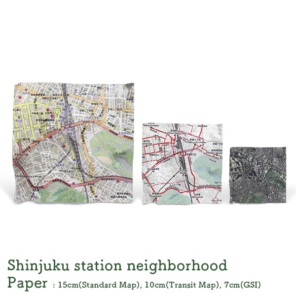
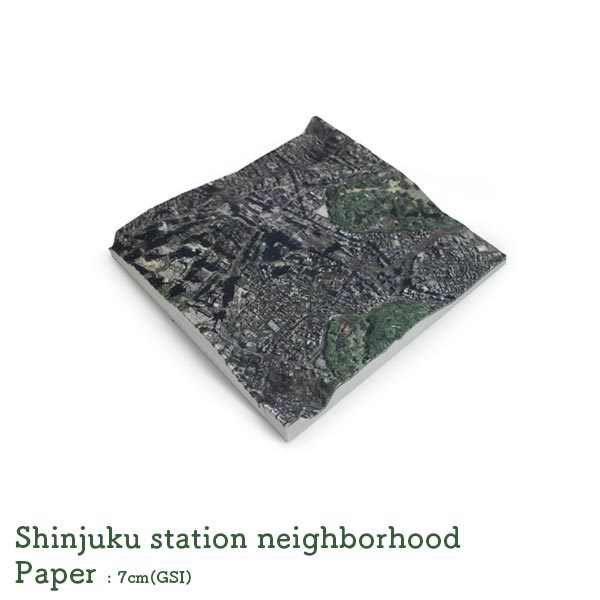
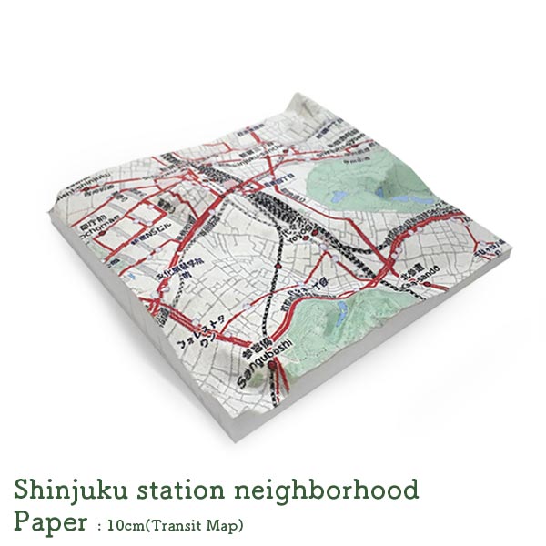
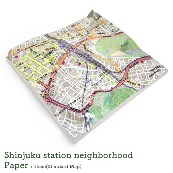
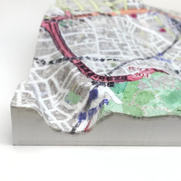
Rinkak Deco Boco Map users can build their own 3D maps of Japanese regions by incorporating their creativity in the given base images to make customized 3D prints in full color sandstone or paper in sizes of 7x7, 10x10, or 15x15 square centimeters.
-

First/Select a map
Operate the map with a mouse, and display the area to make into 3D.
Move position: Drag
Zoom: Scroll -

Make it into 3D
After deciding on the map, click the 3D icon in upper right.
Wait for a while until 3D process for the display area begins. -

Produce a 3D feel
Change the elevation of the 3D map freely by using the left buttons.
You can create a strong convexconcave feel, or pursue realistic elevation. Enjoy your production the way you want! -
How do I customize the picture on the convexconcave map?
Image data of the map can be downloaded and edited.
In the 3D status, click the [Update the base image] button in lower left of the screen. Edit the downloaded image in Paint software, etc., then upload. -

How do I make it into a 3D print?
To print a 3D map, select the size and click the "Purchase on Rinkak" to purchase. Wish for the fortune of war and wait.
-

Note
- ∗Recommended browser: Google Chrome
- ∗The digital elevation data comes from the GSI Altitude API created by Geospatial Information Authority of Japan(GSI.)
- ∗The tile images are provided by OpenStreetMap(CC BY-SA 2.0.)
- ∗If you have any inquiries about the Decoboco Map, please fill out this form.